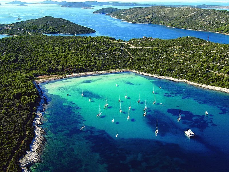
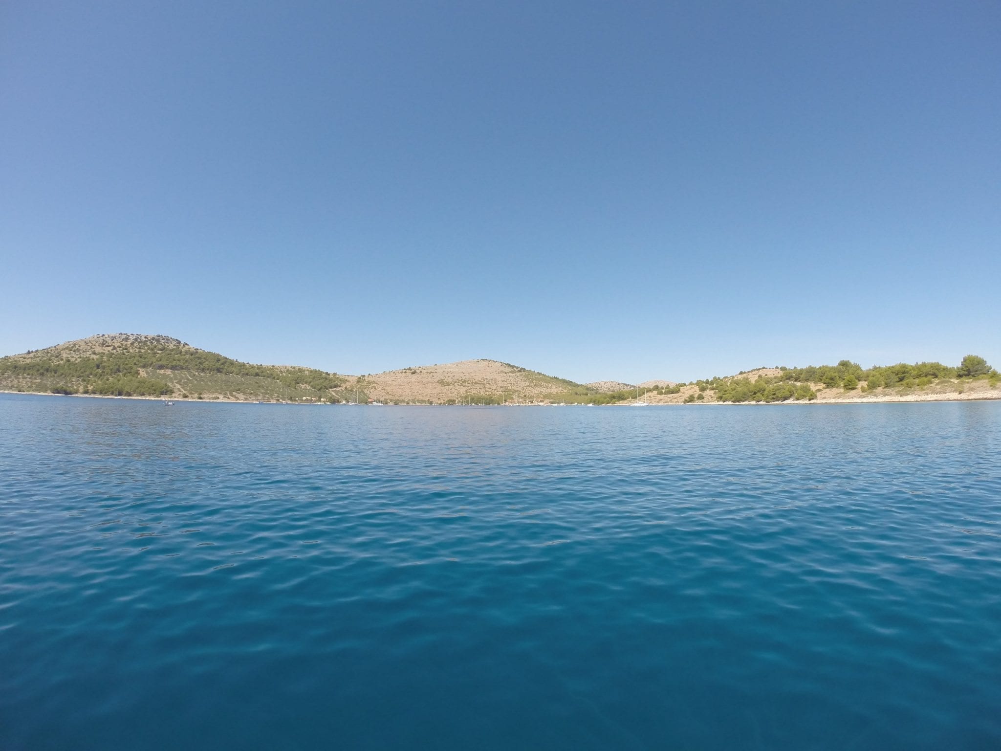
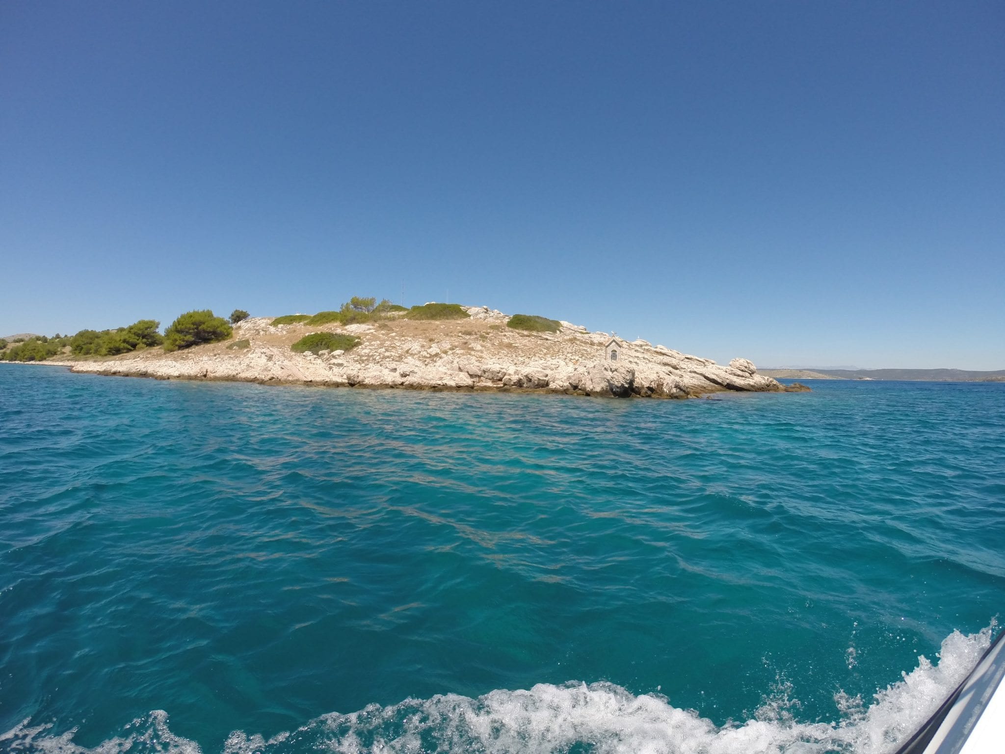
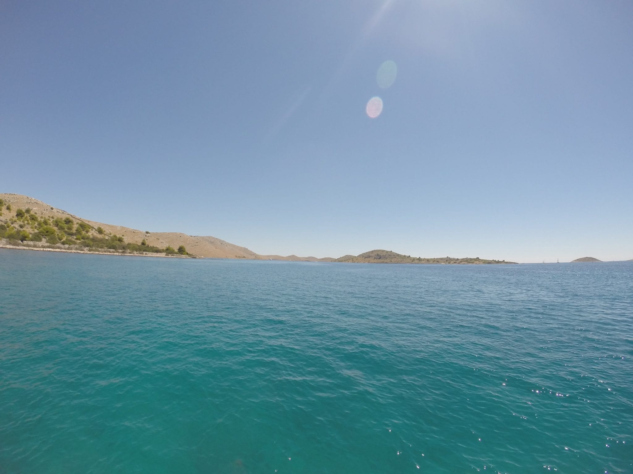
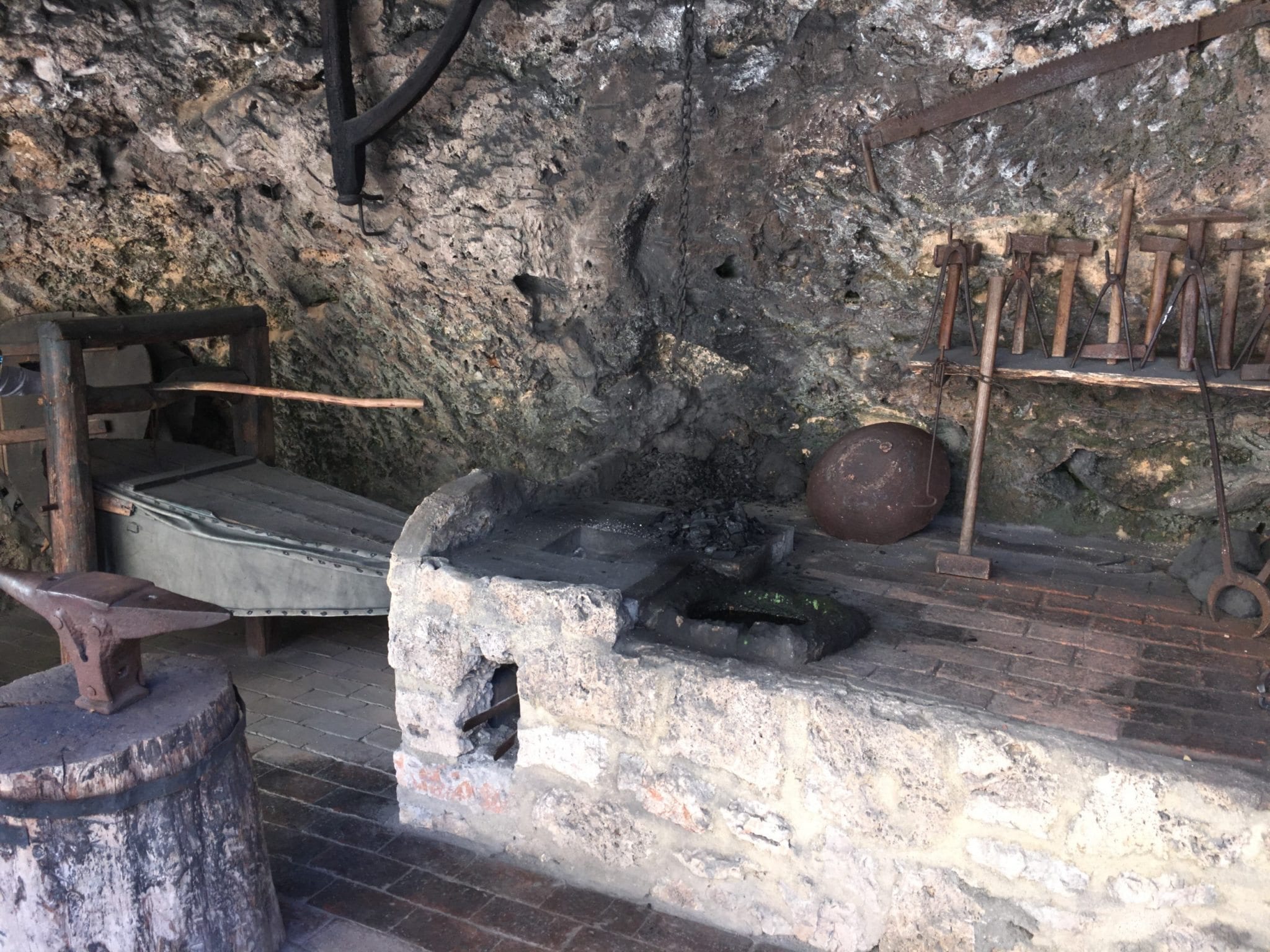
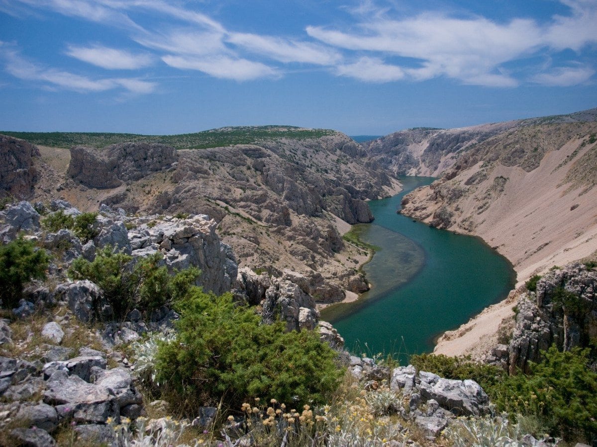
Kornati National Park
Kornati National Park is situated in the central part of the Croatian Adriatic. It starts in Zadar and ends in Šibenik and it’s made out of 89 islands. Park was named after the biggest island Kornat. Because of the exceptionally intended islands, the natural beauty and rich ecosystem of Kornati were declared a National Park. The crystal sea is full of red coral, shells and various types of fish. In the history the Kornati were inhabited and were a target of invaders and looters like Romans, Venetians and some indigenous people from Zadar. Today the Kornati are inhabited only during the summer. Small rural houses and restaurants are scattered around the hidden and protected bays of the Kornati. The Kornati archipelago is a paradise for boaters, divers and lovers of pure and unspoiled nature who want to enjoy the quiet and solitude away from the civilization.
INTERESTING INFORMATION:
Islet Taljurić – with its oval shape looks like a plate but it is dangerous for boats because it is often covered with water
Island Piškera – is the second largest island of the National Park. Once was the main fishing center of the Kornati islands with a warehouses for salted fish
Mala Proversa – is a shallow passage between Long Island and the island of Katina, in the sea there are visible remains of a 90 meter long Roman building, which was in Roman times above the sea level
Bay of Spinuta – is a place where you can see the remains of an underwater wall of the old Roman salt pans and ponds
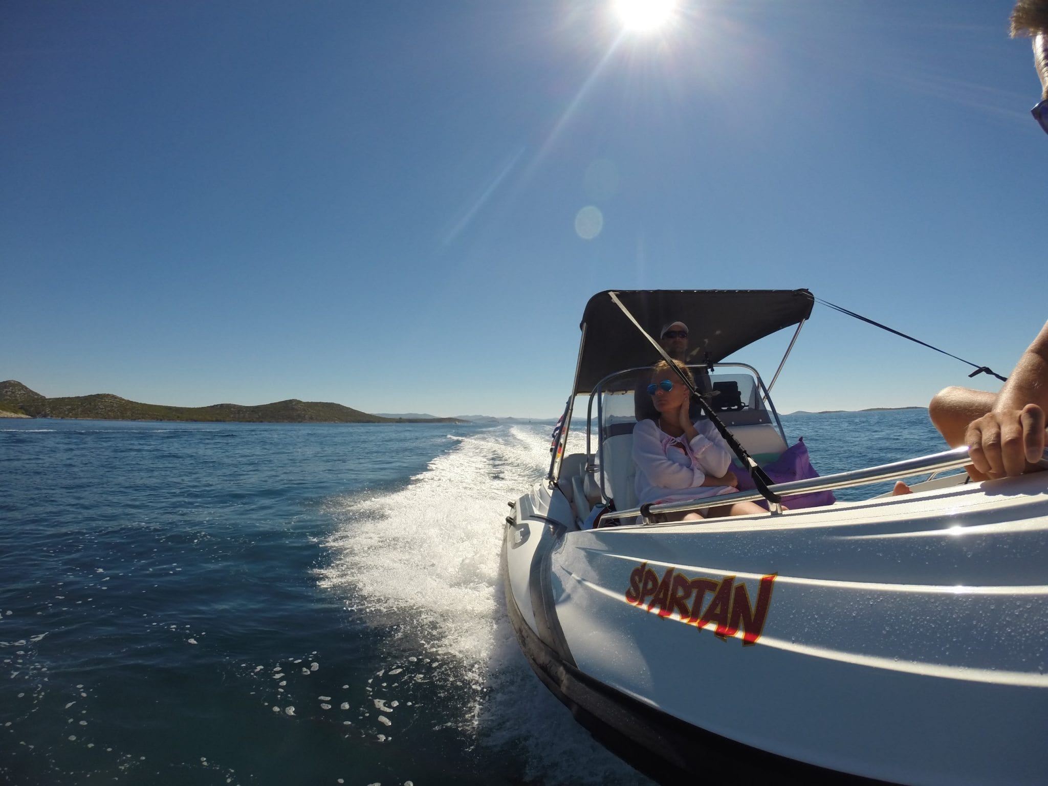
triM Nautica Charter allows you to enjoy a ride in fast and secure boats throughout the National Park. If you don’t have a sailing license, we can arrange for you a trip with an experienced skipper.
Krka National Park
If you decide to visit Krka National Park from Biograd by using one of the rent-a-boats from our fleet, such as ZAR Formenti, BAT, BSC or SESSA Key Largo you will surely have a perfect experience that will stay memorable for a long time. It will take you an hour and half to get there, as to get to Šibenik you will need about an hour and then you will continue through the channel for about a half an hour to end up in Skradin, where you can tie your boat and proceed further boarding a big tourist boat to the National Park. The ferry is heading to Krka National Park every full hour.
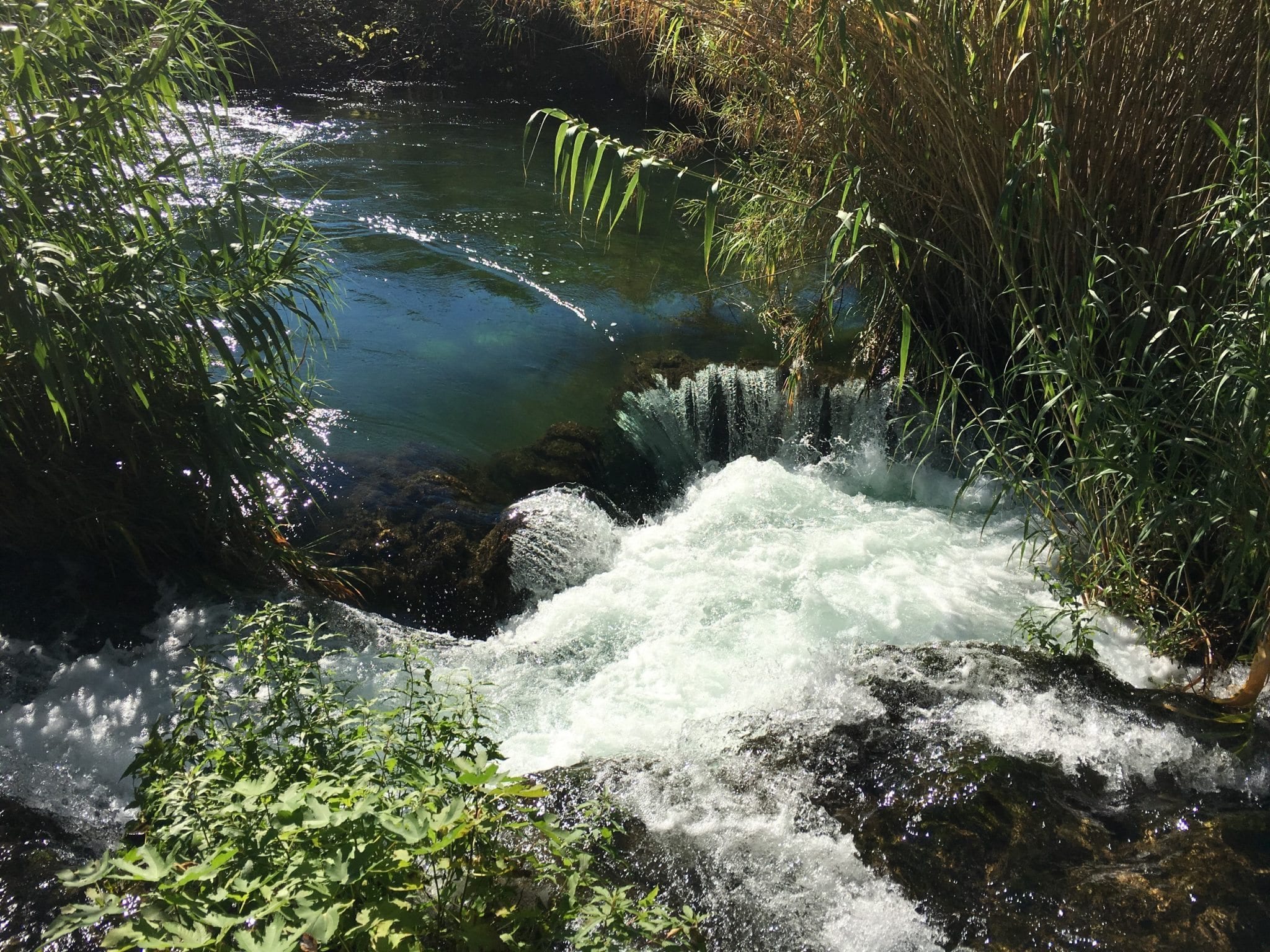
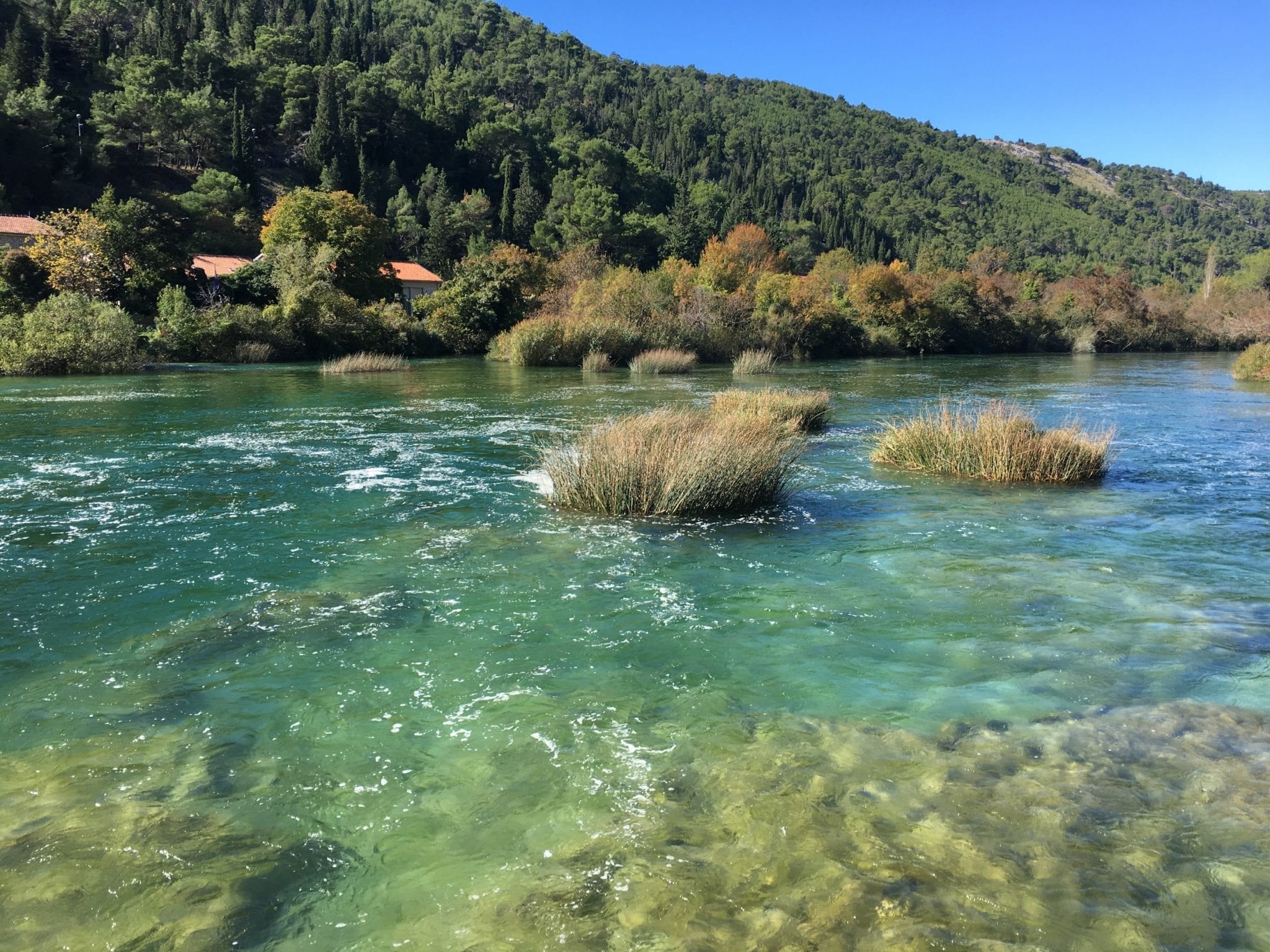
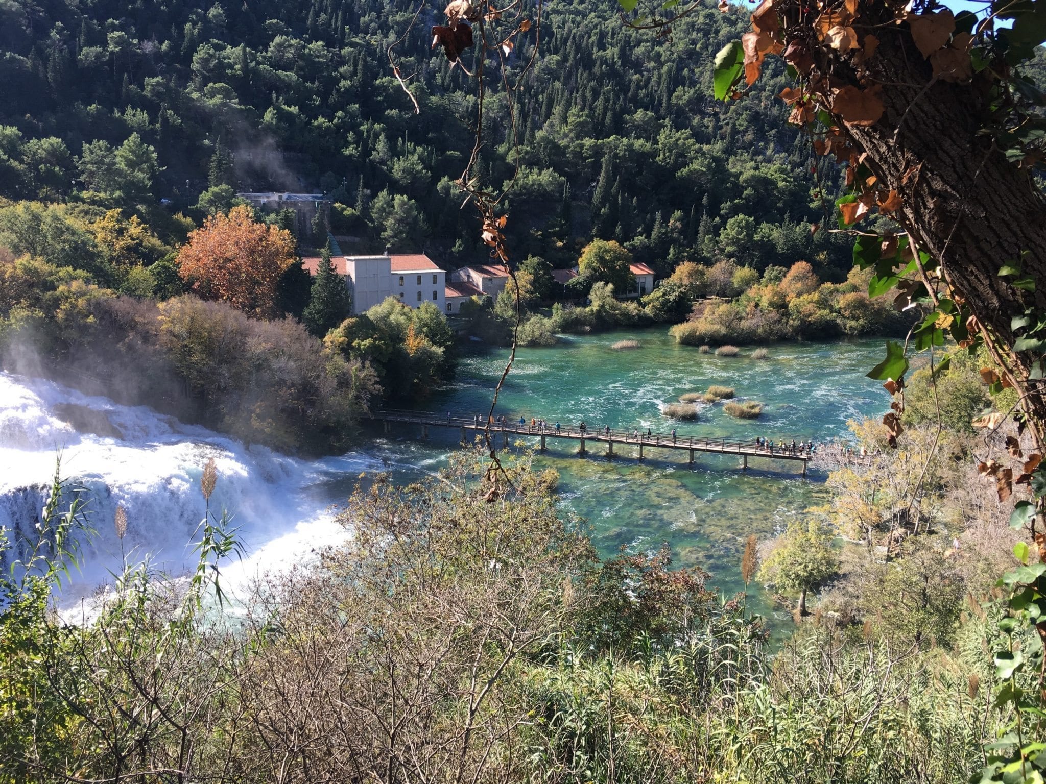
Krka National Park includes seven waterfalls. The mount is particularly attractive because it is a submerged river mouth. The water is a mixture of salt sea and fresh river water, and is called a brackish water. The Krka River is quite long and rich with freshwater shellfish and sea fish. Sea water reaches up to Skradinski Buk, the most famous waterfall of the National Park.
Krka waterfalls are not very high. The most notable are: Roški waterfall and Manojlovac, which is 33 meters high and also the second largest in the National Park after Skradinski Buk. It is interesting that in the summer there is a lack of water during the heat, so the water is diverted to the surrounding hydroelectric power plants. The Krka River is due to her major scientific and cultural value declared a National Park in 1985, and has more than 700,000 tourists a year. In the 72 km long course Krka has seven travertine waterfalls, of which the most famous Skradinski Buk is 45.7 meters high with 17 steps, and Roški waterfall 25.5 meters high.
Archaeological excavations discovered the remains of pottery, flint blades and bones from Palaeolithic. The jewel of the National Park is the island Visovac, on which there is a Franciscan monastery, a valuable cultural and historical monument. The other important religious monument is the Orthodox Monastery of the St. Archangel, in which are kept valuable books, icons and liturgical manuscripts.
Paklenica National Park
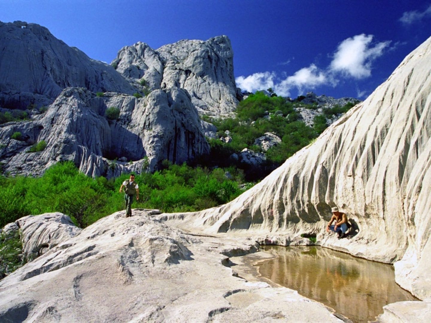
Due to its unique natural features, magnificent forests and extraordinary geomorphologic structures, the area of Velika and Mala Paklenica was proclaimed a national park in 1949. The main reason for proclaiming this area a national park was the protection of the largest and best preserved forest complex in the territory of Dalmatia, which was threatened by overexploitation. Paklenica National Park stretches on the area of 95 km2, on the littoral slope of South Velebit under the zone of highest mountain peaks, Vaganski vrh (1752) and Sveto brdo (1753).
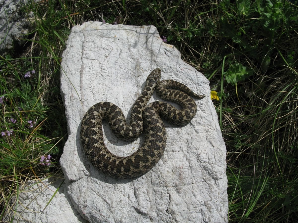
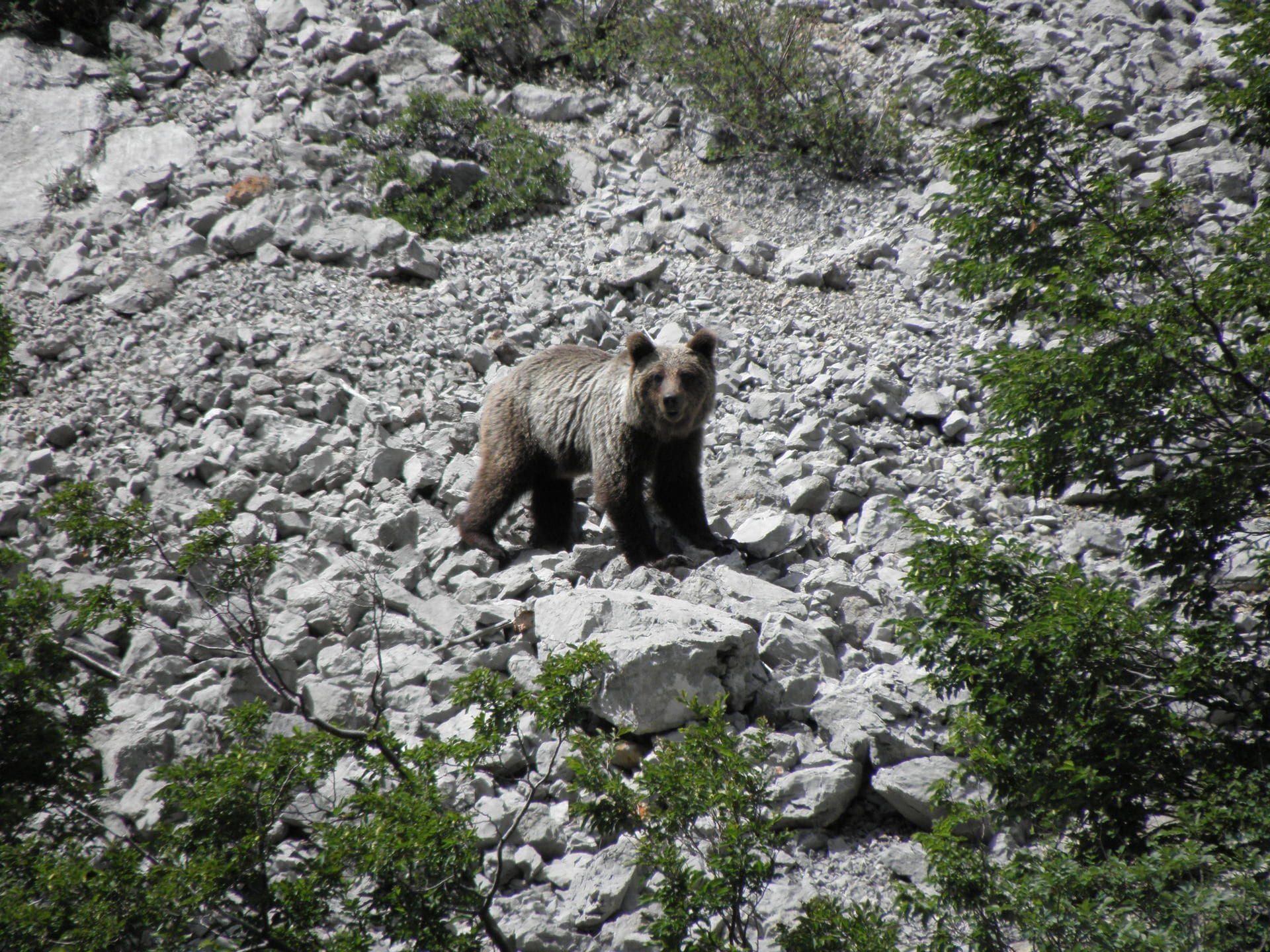
It covers the area of torrent flows of Velika Paklenica and Mala Paklenica, and their distinctive canyons are carved vertically into the south slopes of Velebit and the broader surrounding area. The relatively small area has an abundance of geomorphological phenomena and forms, diverse flora and fauna, attractive landscapes and intact nature. Diverse habitats in the area of Paklenica, along with elevation stratification, provide a home for diverse fauna.
Distinctive features of Paklenica National Park are autochthonous forests of black pine, several types of beech forests and deep canyons with torrent flows of Velika and Mala Paklenica. The wider area of Paklenica National Park prides itself with rich and diverse cultural heritage
DATE OF PROCLAMATION OF THE PROTECTED AREA: 19 October 1949
PROTECTION PROCLAMATION ACT:
The Act on Proclamation of Paklenica Forest a National Park (Official Gazette no. 84/49);
The Act on Amendments to the Act on Proclamation of Paklenica Forest a National Park (Official Gazette no. 15/97)
AREA: 95 km2
HIGHEST PEAKS: Vaganski vrh 1 757 m, Sveto brdo 1 753 m
COUNTIES: Zadar (64 km2) and Lika-Senj (31 km2)
CITY: Gospić
MUNICIPALITIES: Starigrad and Lovinac
INTERNATIONAL PROTECTION: MAB – a biosphere reserve
The name Paklenica probably derives from black pine sap called “paklina”, which the locals used in traditional medicine, for wound treatment, for light and for coating of wooden boats.